In an era where architectural designs push boundaries with complex geometries and millimeter-precise tolerances, the margin for measurement error has never been thinner. A single miscalculation during site documentation can cascade into costly redesigns, construction delays, and compromised structural integrity. This reality has driven architects away from traditional surveying methods toward a technology that captures spatial data with extraordinary fidelity: point cloud laser scanning. By emitting millions of laser pulses per second, this approach generates dense three-dimensional datasets that represent physical spaces with unprecedented accuracy. The shift isn’t merely incremental—it fundamentally transforms how architects document existing conditions, validate designs, and communicate spatial concepts to clients. Powered by LiDAR technology, modern scanners have made this capability more accessible than ever, offering architectural firms a practical path to enhanced design accuracy and high-resolution visualizations that traditional tools simply cannot match.
The Evolution of Architectural Measurement: Limitations of Traditional Scanning
For decades, architects relied on tape measures, total stations, and manual surveys to document existing buildings and sites. These tools served their purpose when projects involved straightforward geometries and generous tolerances, but they fall short in today’s demanding design environment. A team measuring a historic façade with handheld instruments might spend days collecting data points that still leave gaps in critical areas—ornamental details missed, ceiling heights approximated, structural deformations overlooked. Human error compounds the problem: transposing numbers, misreading scales, or failing to capture enough reference points introduces inaccuracies that only surface during design development. Traditional photogrammetry improved documentation somewhat, yet it struggles with depth perception and produces flat representations that require extensive interpretation. These methods also generate sparse datasets, forcing architects to interpolate between measured points and make assumptions about unmeasured surfaces. When design accuracy depends on understanding every curve, angle, and surface irregularity of an existing structure, interpolation becomes a liability. The visualization limitations are equally constraining—two-dimensional drawings and scattered measurements cannot convey spatial relationships with the richness that modern design processes and client expectations demand.
Understanding Point Cloud Laser Scanning and LiDAR Technology
A point cloud laser scanner is a device that captures the three-dimensional geometry of physical environments by recording millions of individual spatial coordinates. Each coordinate—or “point”—represents a precise location where a laser pulse reflected off a surface, and collectively these points form a dense digital replica of the scanned space. The technology underlying this process is LiDAR (Light Detection and Ranging), which calculates distances by measuring the time it takes for emitted laser pulses to return after striking an object. By rotating rapidly and firing thousands of pulses per second across a scene, a LiDAR-equipped scanner builds a comprehensive spatial dataset that preserves geometric relationships with millimeter-level fidelity. For architects, this means capturing not just primary structural dimensions but also subtle surface variations, material textures, and spatial transitions that inform design decisions.

How Point Cloud Data is Generated and Processed
The scanning process begins with positioning the device at strategic locations throughout a site, where it emits laser beams in a systematic pattern across all visible surfaces. Each returning pulse registers as a point with X, Y, and Z coordinates, often accompanied by intensity and color information captured through an integrated camera. Multiple scan positions are then registered together using overlapping reference points or targets, producing a unified point cloud that represents the entire environment. Once captured, specialized software processes this raw data—filtering noise, aligning scans, and enabling architects to extract measurements, generate cross-sections, or export the dataset directly into BIM platforms and CAD applications for design development.
Key Advantages: Why Point Cloud Scanning Excels for Architects
The gap between traditional measurement and point cloud scanning isn’t a matter of marginal improvement—it represents a fundamentally different approach to spatial documentation. Where conventional methods capture dozens or hundreds of discrete measurements, a single scan session generates millions of data points, eliminating the selective bias inherent in manual surveys. Architects no longer decide in advance which dimensions matter; instead, they capture everything and extract precisely what they need during each design phase. This comprehensiveness dramatically reduces return site visits, which traditionally account for significant project delays when teams discover missing measurements mid-design. Speed compounds the advantage: scanning an entire building interior that would require weeks of manual documentation can be completed in hours, with higher reliability throughout. The technology also excels in environments where traditional access proves difficult or dangerous—elevated structural elements, confined mechanical spaces, or deteriorating historic buildings can all be documented without scaffolding or physical contact. For architects working on renovation projects, adaptive reuse, or heritage conservation, this combination of thoroughness, speed, and safety transforms project feasibility calculations entirely.
Enhancing Design Accuracy with Precise Point Cloud Data
Point cloud data delivers millimeter-level dimensional accuracy that virtually eliminates the costly rework cycles plaguing renovation and addition projects. When an architect designs a steel connection to interface with an existing concrete beam, the point cloud reveals the beam’s actual geometry—including any deflection, surface irregularities, or positional drift from original drawings. This precision means fabricated components fit correctly on first installation rather than requiring field modifications. The reliable spatial foundation also enables architects to detect conflicts between proposed designs and existing conditions during the digital modeling phase, catching clashes that would otherwise surface only during construction. For planning applications and regulatory compliance, accurate existing-condition documentation provides defensible evidence that proposed interventions meet setback requirements, height restrictions, and accessibility standards without ambiguity.
Achieving High-Resolution Visualizations for Better Client Presentations
Beyond measurement, point clouds serve as powerful visualization assets that help architects communicate design intent within authentic spatial contexts. The dense three-dimensional datasets, often enriched with photographic color data, create immersive representations of existing environments into which proposed designs can be inserted with photorealistic credibility. Clients who struggle to interpret floor plans or abstract renderings immediately grasp spatial relationships when viewing their actual building as a navigable 3D model with proposed modifications overlaid. Architects leverage these visualizations during stakeholder meetings to build consensus, walking decision-makers through sight lines, spatial sequences, and material relationships in ways that flat drawings never achieve. The result is fewer revision cycles driven by misunderstanding, faster approvals, and stronger client confidence in the design direction from early project stages onward.
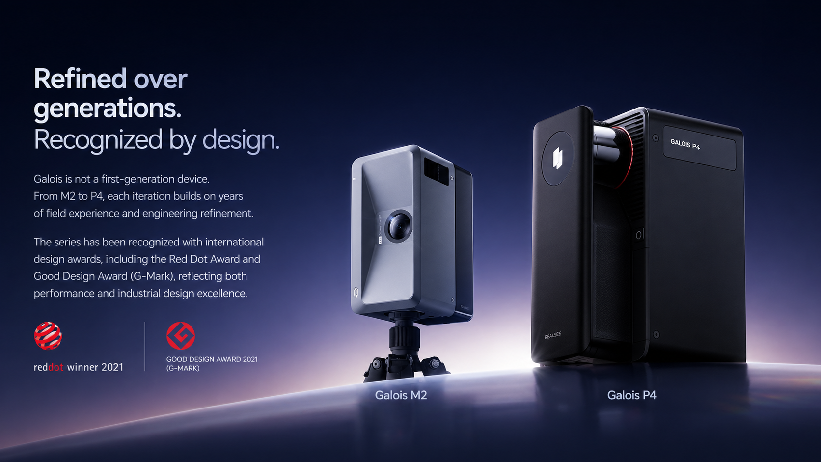
Spotlight on Realsee Galois P4: A Tool for Modern Architectural Demands
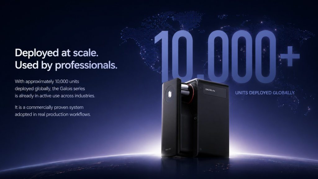
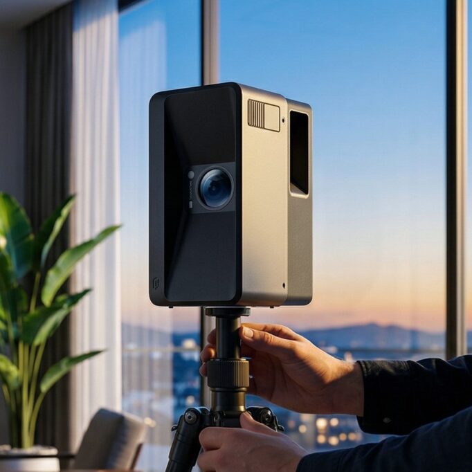
The Realsee Galois P4 represents a significant advancement in making point cloud scanning practical for everyday architectural work. Built around integrated LiDAR technology, this scanner captures dense spatial data with the millimeter-level accuracy architects require for renovation documentation, heritage recording, and new-build coordination. What distinguishes it from earlier generation scanners is its streamlined workflow—architects can operate the device without specialized surveying expertise, reducing the barrier between concept and captured reality. The Galois P4 produces high-resolution point clouds that translate directly into actionable design data, generating outputs compatible with major BIM and CAD platforms that architectural teams already use. Its portability allows efficient deployment across multiple site conditions, from tight interior spaces to expansive building exteriors, without sacrificing data density or geometric fidelity. For firms seeking both design accuracy and compelling high-resolution visualizations, the device delivers colored point clouds that serve dual purposes: precise measurement extraction for technical documentation and immersive three-dimensional representations for client communication. This combination addresses the two primary demands architects face—getting dimensions right and conveying spatial intent convincingly—within a single capture workflow rather than requiring separate documentation and visualization processes.
Practical Steps to Integrate Point Cloud Scanning into Architectural Workflow
Adopting point cloud scanning doesn’t require overhauling an entire practice overnight—it works best as a phased integration aligned with project needs. Start by assessing which current projects would benefit most from enhanced spatial documentation. Renovation work, heritage conservation, and complex addition projects where existing conditions are poorly documented offer the clearest return on investment and provide low-risk opportunities to build team competency.
Equipment selection should match your firm’s typical project scale and complexity. A device like the Realsee Galois P4 suits practices that need professional-grade results without dedicating staff to specialized surveying training, since its streamlined operation allows architects themselves to conduct captures. Before your first project scan, conduct a test capture of your own office or a familiar space to understand scan positioning strategy, overlap requirements, and data density settings.
When conducting site scans, plan scan positions to ensure complete coverage with sufficient overlap between adjacent captures—typically 30 percent or more shared geometry between positions ensures reliable registration. Document scan positions on a floor plan as you work to track coverage gaps in real time. After capture, process the raw data using software that integrates with your existing BIM or CAD environment, converting point clouds into usable reference geometry rather than treating them as standalone files. Establish a standard folder structure and naming convention for point cloud datasets so they remain accessible throughout the project lifecycle. Finally, incorporate point cloud review into your design milestone meetings, using the three-dimensional data to verify design assumptions against actual conditions before advancing to construction documentation.
Embracing Point Cloud Scanning for Competitive Architectural Practice
The transition from traditional surveying to point cloud laser scanning marks a defining shift in how architects approach spatial documentation. Where tape measures and manual surveys once left gaps, introduced errors, and demanded extensive interpretation, LiDAR-powered scanning delivers comprehensive three-dimensional datasets with millimeter-level precision in a fraction of the time. This technology directly addresses the two challenges architects face most frequently: achieving reliable design accuracy when working with existing conditions, and producing high-resolution visualizations that communicate spatial intent convincingly to clients and stakeholders. PropTech companies like Realsee have accelerated this shift by making professional-grade point cloud capture accessible to architectural teams without requiring specialized surveying backgrounds, with devices that combine dense spatial data, color-rich outputs, and seamless integration with BIM workflows. For practices that have not yet adopted this technology, the question is no longer whether point cloud scanning offers meaningful advantages—it clearly does—but how quickly they can integrate it into their workflows to remain competitive. Starting with high-value projects like renovations or heritage work provides immediate returns while building the expertise needed to apply scanning across all project types going forward.